Vegetation and Weed Mapping
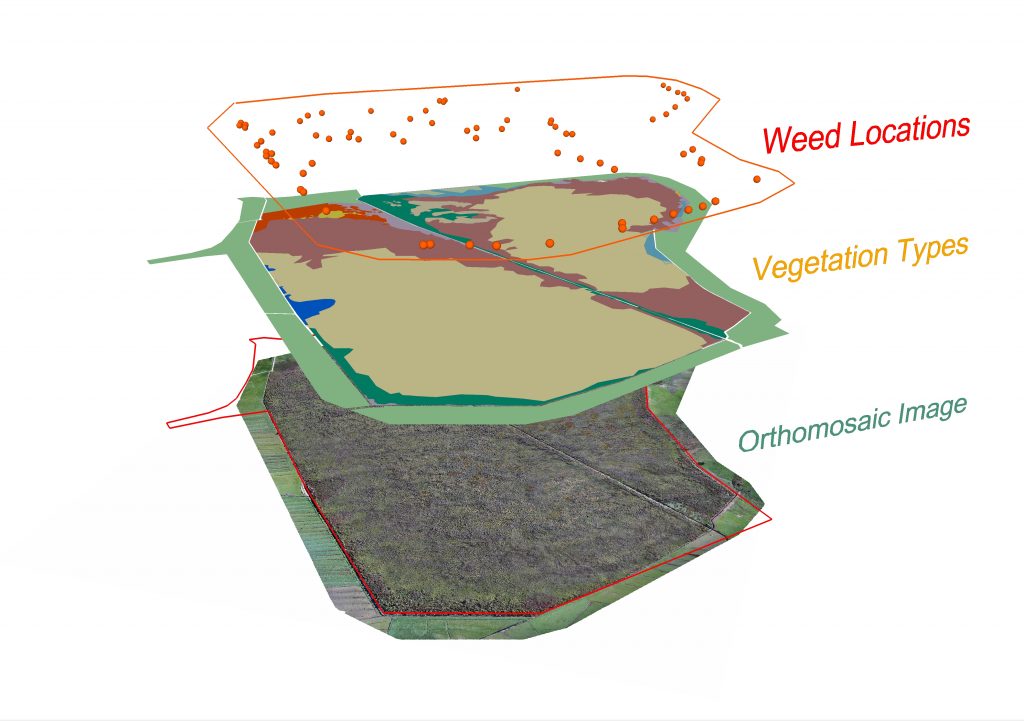
The Department of Conservation manage Otakairangi Wildlife Management Reserve (265ha) north-west of Whangarei. It is a remnant peat bog wetland with a mosaic of native and weedy vegetation types. To help with restoration management of the wetland Flightworks provided a high-resolution aerial image, and then defined the broad vegetation types and weed locations across the wetland. The image below shows the GIS map layers of the project: orthomosaic (with reserve boundary), vegetation types and weed locations.

“The Flightworks team provided a great service for the project in Otakairangi including a comprehensive vegetation type analysis and interactive point cloud of the wetland reserve. Flightworks were extremely professional in executing the required work through their extensive ecological knowledge and aerial photograph/mapping skills backed up by a strong emphasis on Health & Safety. The team were flexible and happy to devote time to understand the scope of the project thus producing a comprehensive report and associated aerial photography meeting the contract requirements”
Ben Herbert (Ranger, Operations – Biodiversity), Department of Conservation
